Bermuda pictures taken one week after Hurricane Fabian hit the island in early September 2003.
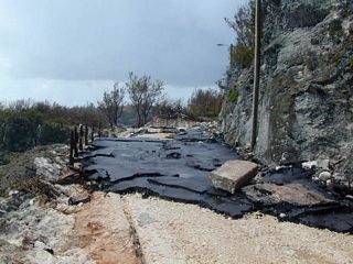
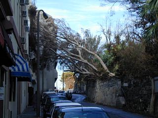
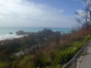
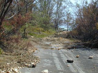
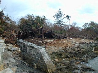
1: South Road in Smith's Parish. It was obviously closed to traffic, but I was able to walk my scooter, using a little power, and get through.
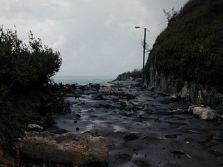
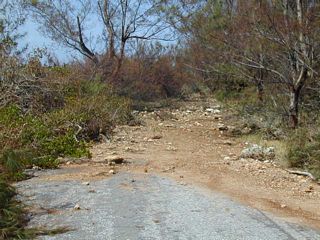
2: South Road in Smith's Parish again.
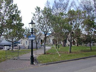
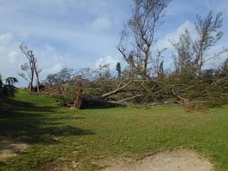
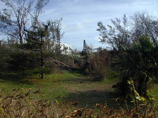
3: Spittal Pond Nature Preserve.
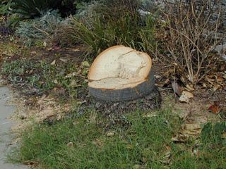
4: Par-la-Ville Road, Hamilton. The tree was in Par-la-Ville Park.
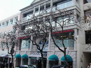
5: Reid Street, Hamilton. Showing how the hurricane turned all the foliage brown.
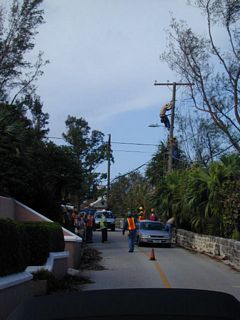
6: Crew fixing the power lines.
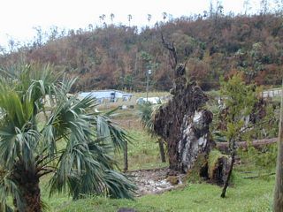
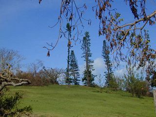
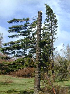
7: Astwood Park. Showing how the wind ripped all the branches off the Norfolk Island Pines.
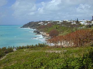
8: A view from South Road in Southampton Parish.
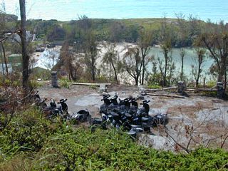
9: Scooters turned over in Southampton
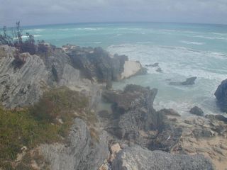
10: A view looking west from Church Bay Park.
11: Some palms went over in Church Bay Park.
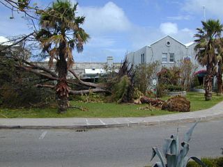
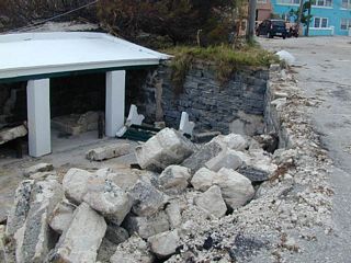
12: Royal Naval Dockyard.
13: Royal Naval Dockyard.
14: Royal Naval Dockyard.
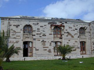
15: Royal Naval Dockyard.
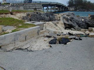
16: Watford Bridge Wharf.
17: Watford Bridge Wharf.
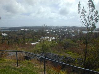
18: Scaur Hill Fort Park. Looking north.
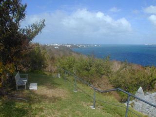
19: Scaur Hill Fort Park. Looking east.
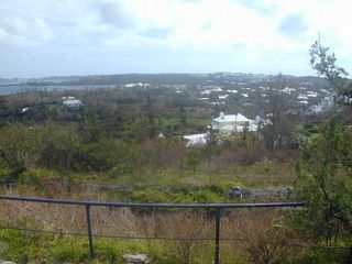
20: Scaur Hill Fort Park. Looking south.
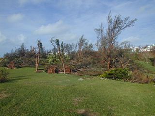
21: Astwood Park.
22: Norfolk Island Pines in Astwood Park.
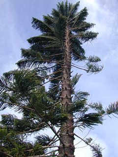
23: Norfolk Island Pines in Astwood Park.
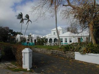
25: Salt Kettle House. Back View.
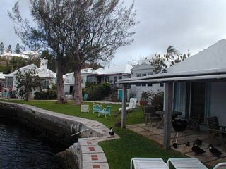
26: Salt Kettle House. View looking out.
27: Salt Kettle House. View from one of the cottage rooms.
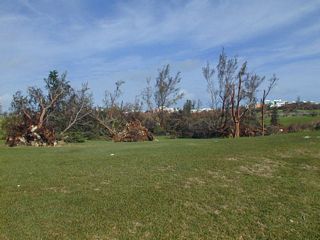
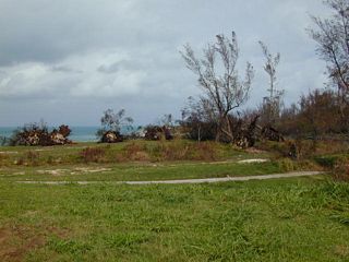
28: Astwood Park. I returned the next morning as the pictures from the day before had water drops on the lens.
29: Astwood Park.
30: Astwood Park.
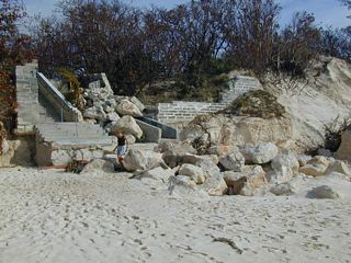
31: The entrance to Elbow beach from the end of Tribe Road No. 4.
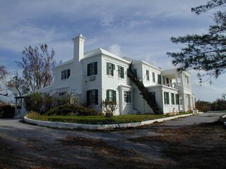
32: Loughlands. Where I stayed on the prior trip. Now closed. Curtains were blowing out the broken windows. Supposedly to be turned into condos.
33: Loughlands. Front yard.
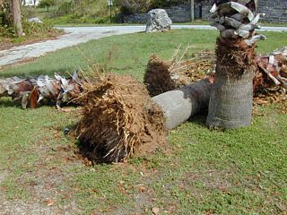
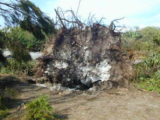
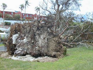
34: Loughlands. Tree down. The white you see is coral. The problem they have is because of the coral the tree roots can't get down deep.
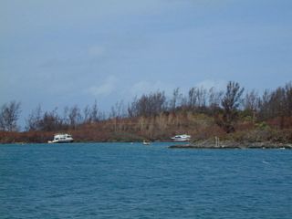
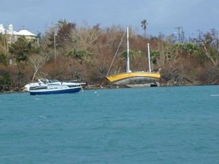
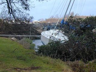
35: Ferry Reach in St. David's Parish.
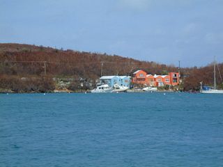
36: Ferry Reach in St. David's Parish.
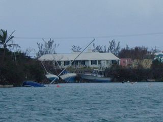
37: St. George's Harbour.
38: By the Swing Bridge between Ferry Reach and St. George's Harbour.
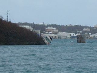
39: Looking across St. George's Harbour.
40: Looking across St. George's Harbour.
41: From Martello Tower on Ferry Point. Looking at The Causeway and Castle Harbour beyond. The remains of the train trestle are to the right.
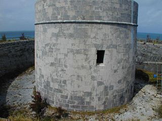
42: Martello Tower on Ferry Point.
43: Ferry Point Park looking north-west.
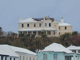
44: A house above St. George.
45: In front of Alexandra Battery on Barry Road on St. George's Island.
46: Cooper's Island Nature Preserve.
47: Cooper's Island Nature Preserve.
48: Debris washed up in St. David's Head. Probably at Red Hole Bay.
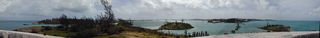
49: A 360 degree panorama from St. David's Lighthouse.

50: Hungry Bay.
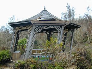
51: A gazebo in the Arboretum.
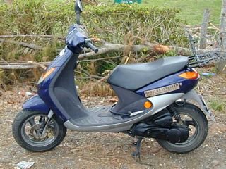
52: The scooter that got me around. In front of the Arboretum. No bicycle this time.
© Don Wiss 2003-2026. All rights reserved.