Pictures taken on Grande Terre, Guadeloupe, West Indies. This was part of a Caribbean trip I took in mid March 2003. See corresponding trip journal.
1: Le Musée Saint-John Perse in Point-à-Pietre.
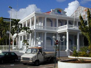
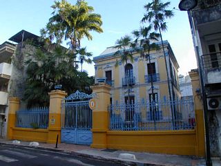
2: Office of Tourism in Point-à-Pietre.
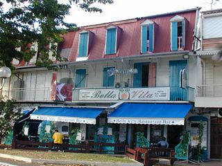
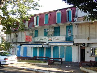
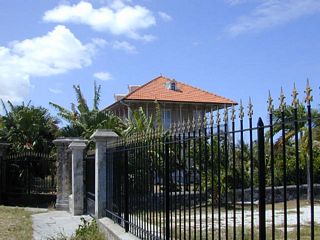
3: Bella Vita is where I stayed when I was in Point-à-Pietre.
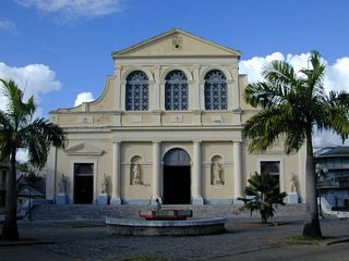
4: La Basilique St Pierre et St Paul.
5: Musée Schoelcher in Point-à-Pietre.
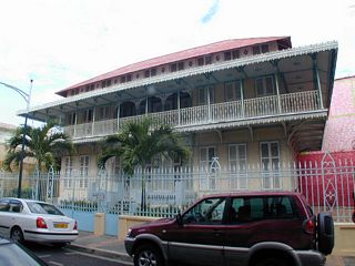
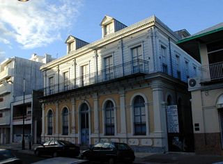
6: A building in Point-à-Pietre. [what building?]
7: Bella Vita again. This time closed.
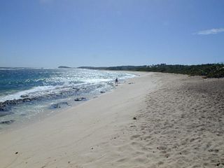
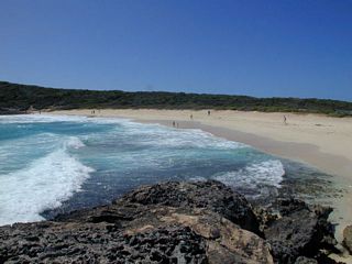
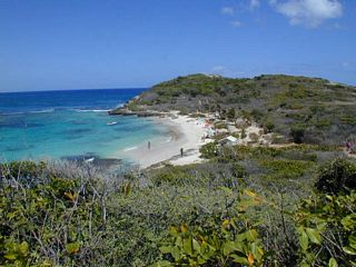
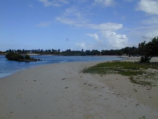
8: Anse à la Gourde. A beach on the Atlantic between St. François and the Pointe. Looking west.
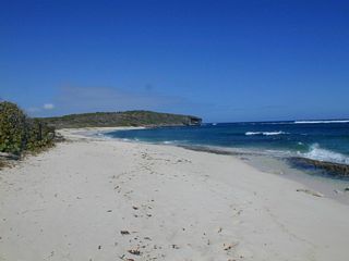
9: Anse à la Gourde. Looking East.
10: Plage de Cannie La Ocarce. [sp???]
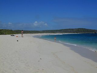
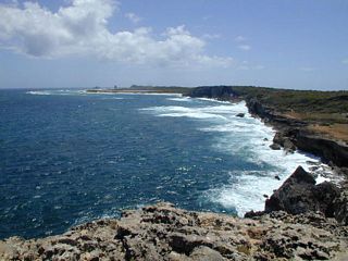
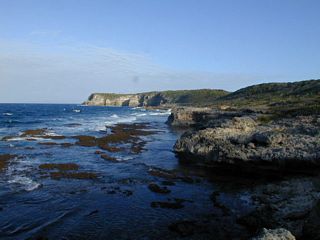
11: A Caribbean coast view between St. François and the Pointe. Looking east.
12: A Caribbean coast view between St. François and the Pointe. Looking west.
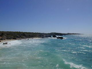
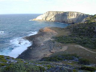
13: Grande Saline. Looking from the road at a parking area.
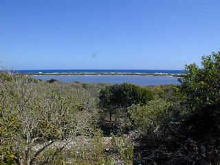
14: Taken from the picnic area between Grande Saline and Pointe des Châteaux. Looking west along the Caribbean towards Pétite Anse Kahouanne.

15: Taken from the Pointe des Châteaux looking east along the Atlantic side.
16: Taken from the Pointe des Châteaux looking west along the Atlantic side.

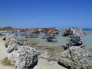
17: Some picnic tables between Pointe des Châteaux and Grande Saline. On the Atlantic, but fully sheltered. [Taken 11:53]
18: Taken from Anse á Plume. Looking west towards Pointe Tartare. [Taken 12:07]
19: Anse Tarare. A nuturist beach. [??? How does this fit in with picture 21?? Taken 12:31]
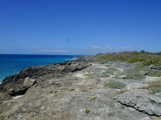
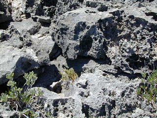
20: The lava rocks I have to walk over in my sandals to get out Pointe Tarare. [Taken 12:40]
21: An Atlantic Coast view looking east. Standing on Pointe Tarare. [Taken 12:40]
22: Maison Coloniale. An old sugar plantation.
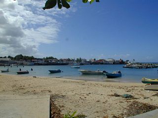
23: The harbor in Le Moule.
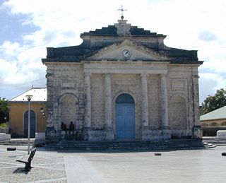
24: Neoclassical Catholic Church in Le Moule.
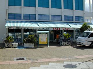
25: The Jazz Cafe in Le Moule is where I had lunch. My bike is the one under the word cafe.
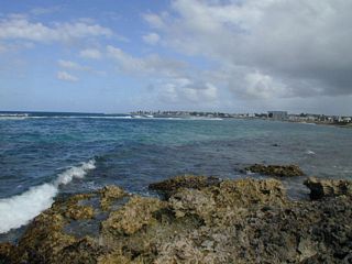
26: The Atlantic Ocean in front of Le Moule. Taken from the pier facing west.
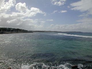
27: The Atlantic Ocean in front of Le Moule. Taken from the pier facing east.
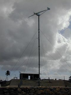
28: There is a wind generator at the foot of the pier.
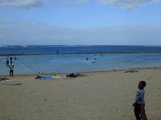
29: Baie du Moule is a popular surfing spot just west of Le Moule.
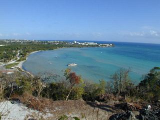
30: Baie du Nord-Ouest. Completely protected.
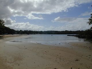
31: Baie du Nord-Ouest from the other side.
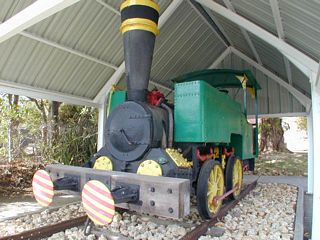
32: A sugar train engine at the Edgar Clerc Archeological Museum.
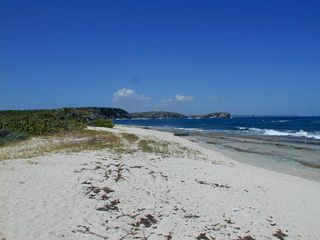
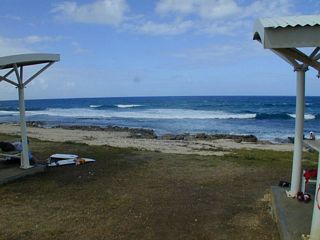
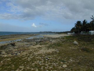
33: Plage de l'Autre Bord.
34: A little east of Plage de l'Autre Bord is a swimming school.
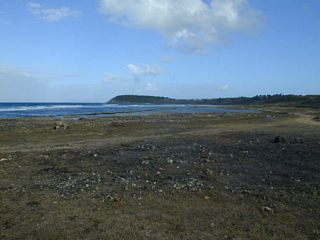
35: Anse Conchou with Pointe de la Couronne Conchou in the distance.
36: A zoomed in view of Pointe Morne.
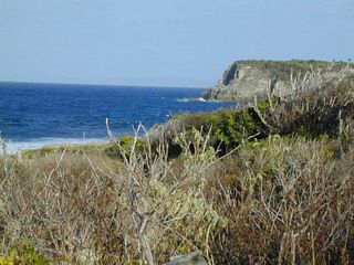
37: A wide angle view of Pointe Morne.
38: Anse Petite Savane.
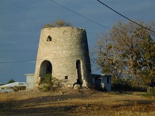
39: A windmill alongside the road.
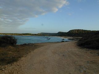
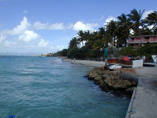
40: Anse à l'Eau.
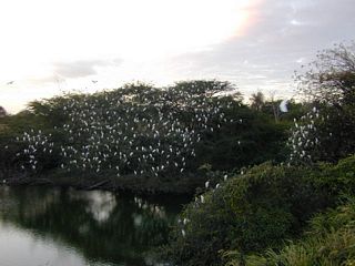
41: The trees are covered with vultures. [right bird type?]
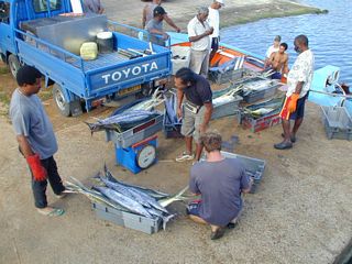
42: While waiting for the boat to
Marie Galante to leave I watched the fishermen sell their catch.
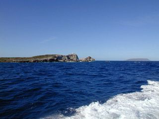
43: On the way back from
La Désirade I get a picture of Pointe la Chaise. La Désirade is in the distance.
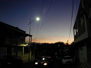
44: I make it to Gosier. Too much in the way to get a good sunset shot.
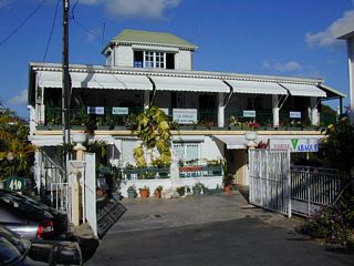
45: La Formule Econonique, my hotel in Gosier.
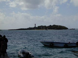
46: Îlet du Gosier. I took a boat over and walked around.
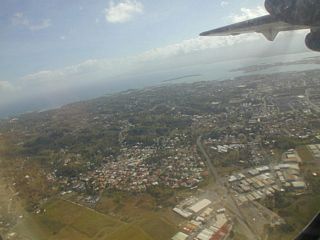
47: Standing at the dock to the ferry to Îlet du Gosier and looking west.
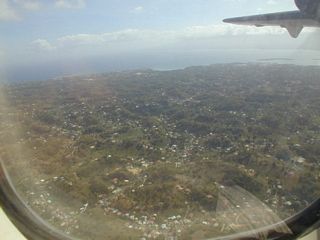
48: From Fort Fleur d'Épée looking down at la Grande Baie.
49: Looking down as I leave. Basse Terre is under the wind.
50: A half minute later.
© Don Wiss 2003-2026. All rights reserved.