St. John pictures taken February 11-13, 2006. Also see corresponding trip journal.
1: Frank Bay (Cruz Bay Beach) looking from the road into Cruz Bay.
2: Frank Bay (Cruz Bay Beach) looking north from the south side.
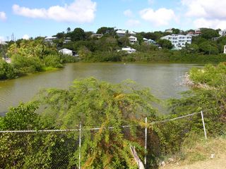
3: Small Pond. Just below the desalinization plant.
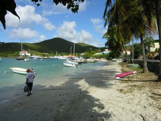
4: Cruz Bay Beach.
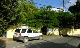
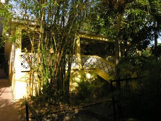
6: The building at The Inn at Tamarind Court where my room was.
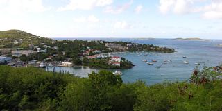
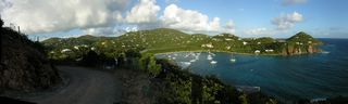
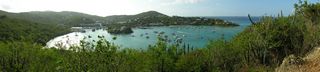
7: A panorama looking down at Cruz Bay from the north, near the Virgin Islands Biosphere Reserve Center.
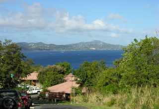
8: Looking at St. Thomas from above the Virgin Islands Biosphere Reserve Center.
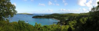
9: A panorama looking over Caneel Bay. You can see the sugar mill ruins in the right of the picture.
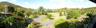
10: Looking over the grounds of
Caneel Bay from their Equator Restaurant. (To get the exposure right I should have taken a center picture first.)
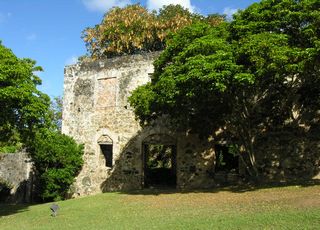
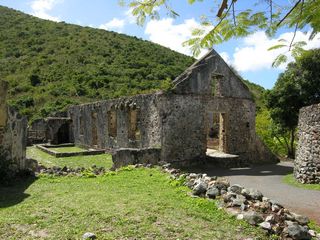
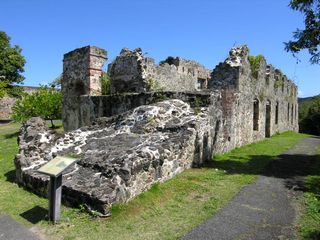
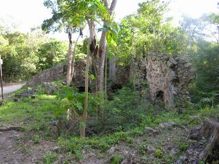
11: Some of the sugar mill ruins at Caneel Bay.
12: Some of the sugar mill ruins at Caneel Bay.
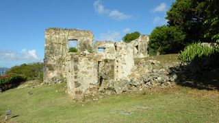
13: Some of the sugar mill ruins at Caneel Bay.
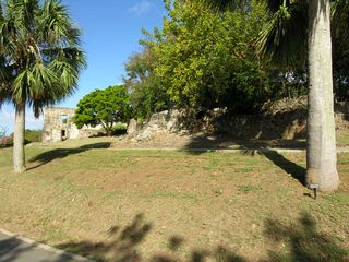
14: Some of the sugar mill ruins at Caneel Bay.
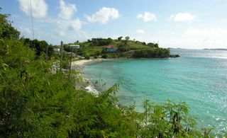
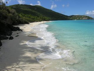
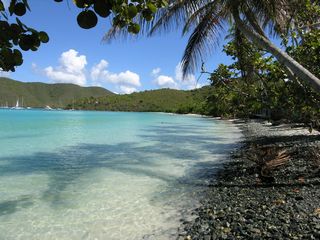
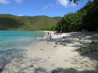
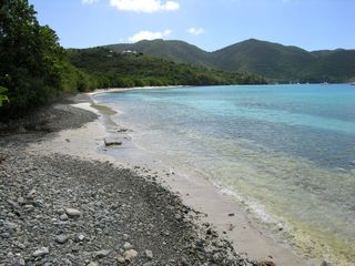
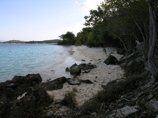
15: The beach at Caneel Bay.
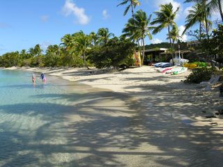
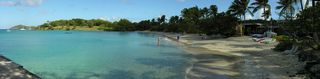
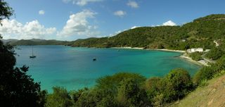
16: The panorama version of the beach at Caneel Bay.
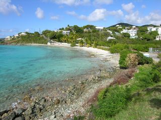
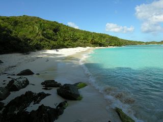
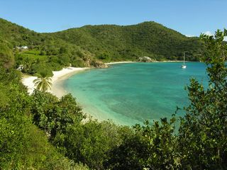
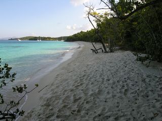
17: Hawksnest Beach.
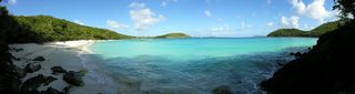
18: The panorama version of Hawksnest Beach. My attempts to get a straight horizon weren't successful.
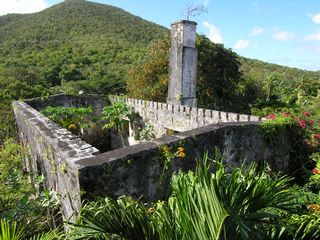
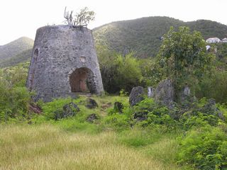
19: The sugar mill ruins on Peace Hill.
20: Denis Bay.
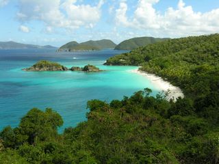
21: Overlooking Trunk Bay.
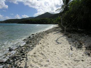
22: Cinnamon Bay.
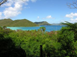
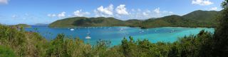
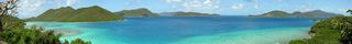
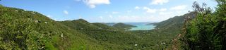
23: A panorama looking over Francis Bay and Maho Bay.
24: Maho Bay.
25: Francis Bay looking north.
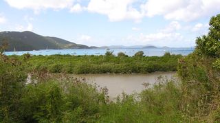
26: Looking over a salt pond at Francis Bay.
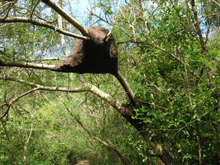
27: A carton nest made by an arboreal species of termite (Nasutitermes sp.). Found on my walk to the far end of Francis Bay.
28: Looking south at Francis Bay.
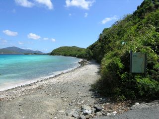
29: The Leinster Bay trail.
31: A panorama looking at Tortola from the Annaberg Sugar Mill Ruins.
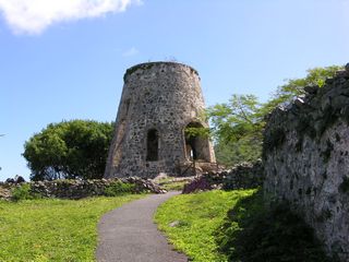
32: The sugar mill at Annaberg.
33: The factory building at Annaberg. This is where the kettles were.
34: The rum still at Annaberg.
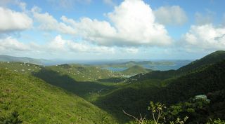
35: A panorama of Coral Bay from Centerline Road.
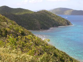
36: Looking down at Johns Folly Bay.
37: Looking down at Johns Folly Bay.
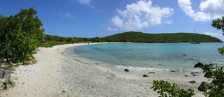
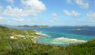
38: A panorama of Salt Pond Bay.
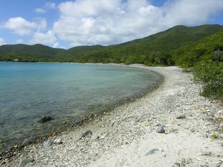
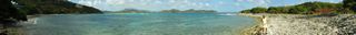
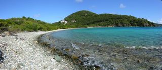
39: Great Lameshur Bay.
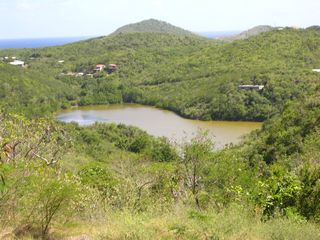
40: The unnamed pond just inland from Grootpan Bay.
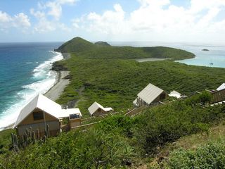
41: Some of the eco-tents at
Concordia [now closed].
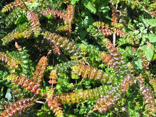
42: Christmas Bush (Comocladia dodonaea). It produces a nasty, itchy rash like poison ivy.
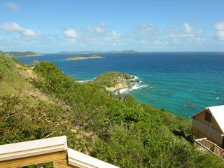
43: Looking towards Peter Island from a walkway at the Concordia Eco-tents. Leduck Island is the small one in the foreground.
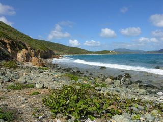
44: Johns Folly Bay.
45: Yet another looking down at Johns Folly Bay.
46: A panorama of Friis Bay taken in front of Miss Lucy's Bar & Restaurant. The land at the far side of the bay is East End.
47: Taken along East End Road looking west. Down below is Mennebeck Bay.
48: A panorama of Limetree Cove and Limetree Point.
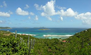
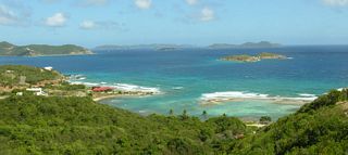
49: A panorama from Blackrock Hill looking northwest over Hansen Bay.
50: Looking east at Hansen Bay.
51: Taken from Le Chateau de Bordeaux looking over Coral Bay and East End.
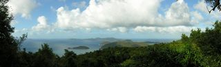
52: A panorama looking at Tortola from a lookout along Centerline Road.
53: The Catherineberg Sugar Mill.
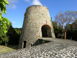
54: Another view of the Catherineberg Sugar Mill.
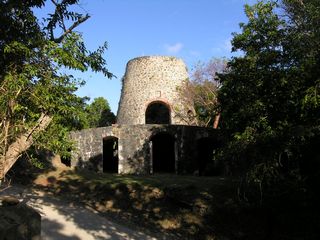
55: More ruins at the Catherineberg Sugar Mill.
56: Looking at Chocolate Hole from Blasbalg Point.
57: A panorama of Chocolate Hole with Bovocoap Point.
58: Looking at Great Cruz Bay.
59: Salomon Beach.
60: Honeymoon Beach.
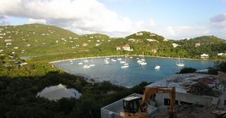
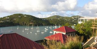
61: A morning panorama of Cruz Bay. An afternoon one would have been better.
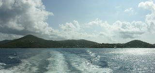
62: Looking back at St. John as I leave. Pictures continue in the
St. Thomas album.
© Don Wiss 2006-2026. All rights reserved.