Salt Cay, Turks & Caicos pictures taken May 5-7, 2007. Includes eight panoramas. The island is so compact that pictures will jump around in location. For some I waited until the sun was a certain way before getting them.
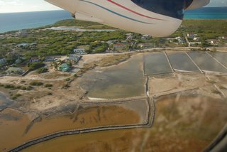
1: The Town Salinas, as I'm coming in for a landing. The road across the back of the salinas is Airport Road.
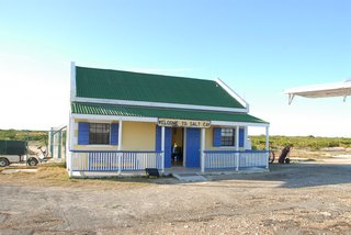
2: The cutest airport terminal I've seen.
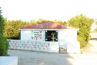
3: Netty's Variety Store. Nettie managed the house I stayed at.
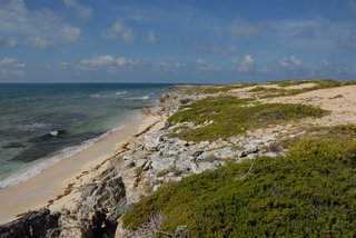
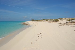
4: Looking northeast at Long Bay from Taylor Hill.
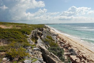
5: Looking southwest at Long Bay from Taylor Hill.
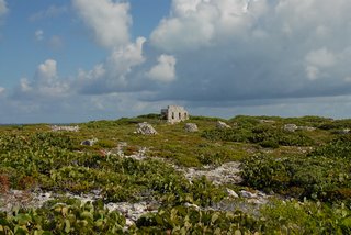
6: The homestead ruins on top of Taylor Hill.
7: A panorama from the top of Taylor Hill looking at the Town Salinas and Balfour Town.

8: Another panorama from the top of Taylor Hill looking at the Town Salinas and Balfour Town. This with a more zoomed out lens.

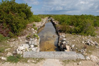
9: A sluice for bringing in fresh sea water.
10: A panorama from the ridge inland from Little Bluff Lookout looking at the North Beach with Windmills Plantation [closed after Hurricane Ike in 2008] off to the right.

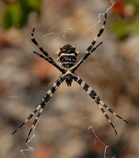
11: A spider that belongs to genus 'Argiope', family Araneidae (orb weavers). Species unknown. [??]
12: A panorama from the ridge inland from Little Bluff Lookout looking at town with the [name?] pond in front. Behind is an overly tall house built by an owner that used trickery to get it approved.

13: The Ft. Pleasant late 18th c. canon at Little Bluff Lookout.
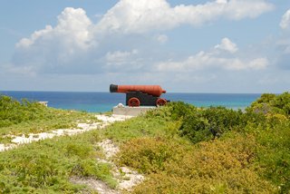
14: Looking south down the coast from Little Bluff Lookout.
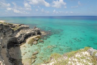
15: Looking north up the coast from Little Bluff Lookout.
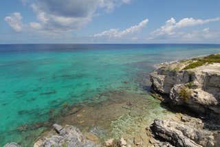
16: The Windmills Plantation on North Beach. You'll have to scroll for this one.

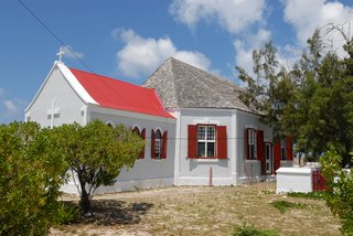
17: St. John's Anglican Church from the road. [does church have web site?]
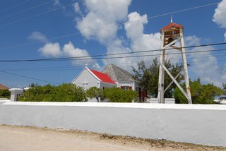
18: St. John's Anglican Church from inside the fence.
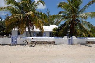
19: The Purple Conch Cottage where I stayed.
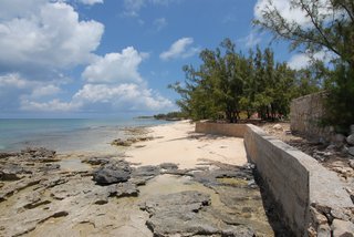
20: The town beach taken from Dunscombe Point.
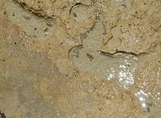
21: Some crustaceans [type?]. Locals call them "suck rock." At Dunscombe Point.
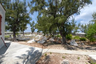
22: The cemetery behind St. John's Anglican Church.
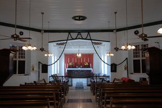
23: Inside St. John's Anglican Church.
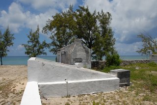
24: The Bermuda chimney on an old hitchen house just north of St. John's.
25: A panorama of the Town Salinas. Taken standing just north of St. John's Anglican Church. Taylor Hill is the bump in the distance.

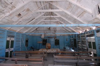
26: This was the headquarters of the old Salt Cay Benevolent Society.
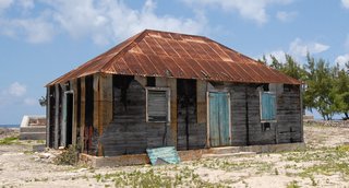
27: Inside the headquarters of the old Salt Cay Benevolent Society.
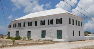
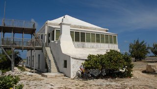
28: The White House. A Bermudan salt trader home from the early 1800's. The roof is Bermuda limestone. It is still maintained by descendants of the family.
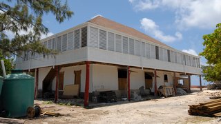
29: The Brown House. Built by shipwright-turned-salt baron, Alexander Harriott, in 1832, it is another of the historic salt plantation homes on Salt Cay. It is now being restored and will be rentable as a grand villa. [URL needed when rentable]
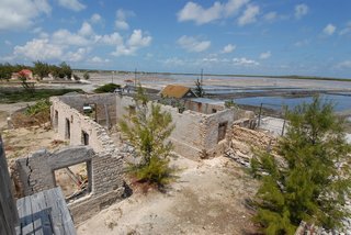
30: The salt warehouse ruins just north of The White House. Picture was taken from The White House deck.
31: A panorama from the South Creek Bird Sanctuary viewing platform. I saw no birds here.

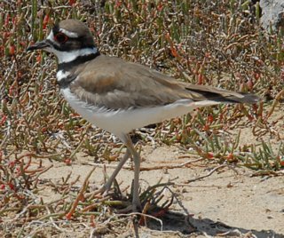
32: A killdeer I found in the road below the bird sanctuary.
33: The back of The White House showing its Bermuda kitchen.
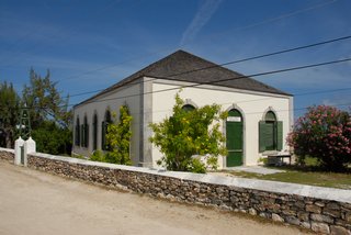
34: The Salt Cay Methodist Church, a classic example of British colonial architecture.
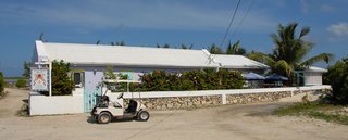
35: The Island Thyme Bistro [archive.org]. They supplied most of my meals while I was there.
36: The North Beach. I was standing just east of the Windmills Plantation.
37: The Grey Salina coming into view.
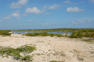
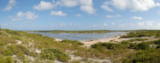
38: A panorama of Grey Salina.
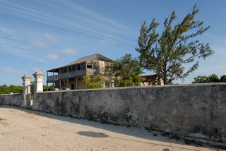
39: The Old Govenment House. This was once the home of the customs officers and government officials. Its gabled tin roof, motley stone, brick and slate walkways, and large stone Bahamian-style kitchen are signatures of the island's architectural heritage. The problem with getting someone to restore it is it is way inland and not on the water.
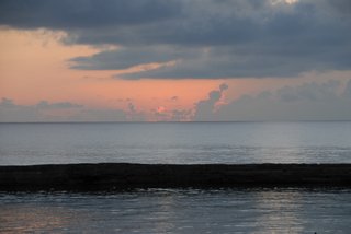
40: A sunset. I didn't see any great ones.
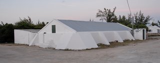
41: A government cistern.
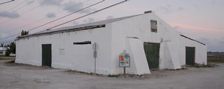
42: An old salt shed now used as a government storage shed. At the southeast corner of Victoria Street and Airport Road.
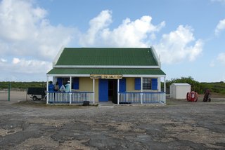
43: The airport terminal again.
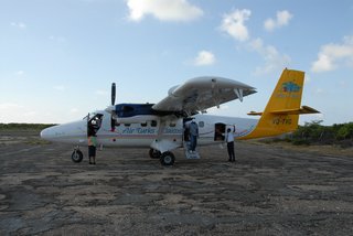
44: The Air Turks & Caicos Twin Otter comes to get us.
© Don Wiss 2007-2025. All rights reserved.


