Pictures taken in Sint Eustatius (Statia), West Indies. This was part of a Caribbean trip I took at the end of January 2002. See corresponding trip journal.
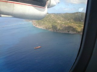
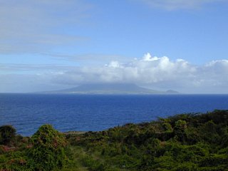
1: The island in the distance.

2: The island is getting closer.
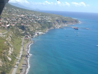
3: Oranjestad. Below the cliff is Lower Town. Above is Upper Town.
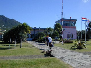
4: The airport. Looking from the runway.
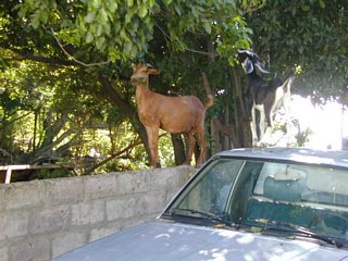
5: Some goats like to climb up.
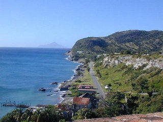
6: A view of part of Lower Town. Facing northwest. Saba is in the distance.
7: Claes Gut, or "The Steps." A cistern for the rainwater from the streets of Upper Town. Used for agricultural and construction purposes.

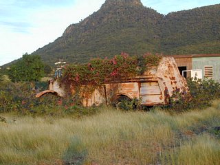
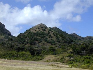
8: An overgrown truck alongside the road. The Quill is in the background.
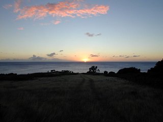
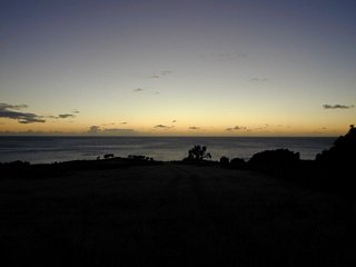
9: I try to get sunset pictures when I can. This one wasn't very good. But I spent a half hour there taking pictures.
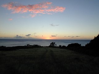
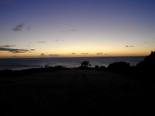
10: Sunset #2.
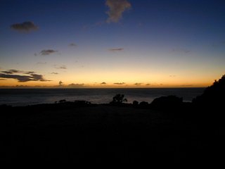
11: Sunset #3.

12: Sunset #4. A donkey wandered into view.

13: Sunset #5.
14: Sunset #6.
15: Sunset #7.
16: Sunset #8.

17: Looking down towards Fort de Windt. My bike is in the distance.
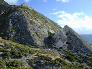
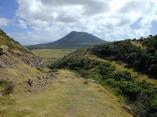
18: Looking up at Big Gut from Fort de Windt.
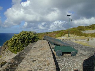
19: Fort de Windt.
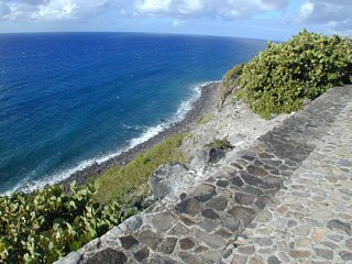
20: Fort de Windt. Looking down at the water.
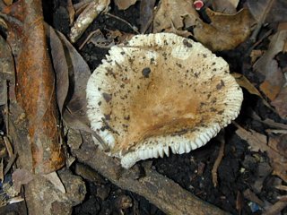
21: A mushroom found on the hike up The Quill.

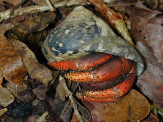
22: A hermit crab found on the hike up The Quill. They find shells to live in. When they outgrow it they find a bigger one. They they crawl up the mountain. Often they slip and roll back down a ways.
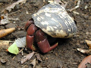
23: The hermit crab again.
24: A snake found on the hike up The Quill.

25: Another mushroom.
26: A view over Oranjestad with Saba in the distance.

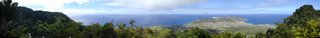
27: A really good panorama looking northwest from The Quill. Oranjestad is the town to the left. Golden Rock and Concodia are the towns in the center of the island, though they kind of run together. This is the only place on the island that you can see the oil refinery.
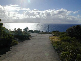
28: Looking back at The Quill on my way down.
29: From the southern tip of Statia you can see St. Kitts. Only seven miles away. I biked out behind the mountain.
30: Fort Amsterdam. Out at the end of the airstrip. My bike makes a cameo appearance.

31: Zeelandia Bay. This is the only sand beach on the island. Turbulent, as it is the Atlantic Ocean side. The buildings are a health resort: Thallaso Resort. Some guidebooks say there is one in Oranjestad. But it washed away some years ago.

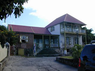
32: Sint Eustatius Museum. The Simon Doncker House, 18th century.
33: A building being restored.
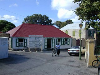
34: A building in the traditional style.
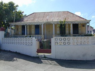
35: A building just restored.

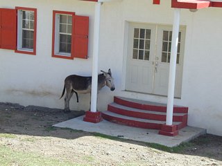
36: This donkey was hiding behind this building. But he was all by himself.
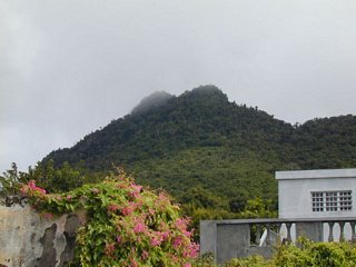
37: Looking up at The Quill from the other side of the runway.

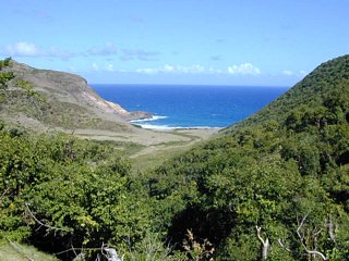
38: Looking down at Venus Bay.
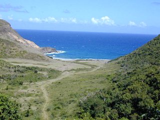
39: Venus Bay is closer. I was not completely alone out there (past Zeelandia). See a couple on the path below.
40: Venus Bay. Boven is the hill behind.

41: Another view of Boven.

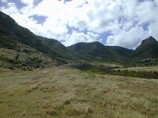
42: Some hills in Venus.
43: The hill I walked over to look down at Jenkins Bay.
44: Looking down at Jenkins Bay.

45: Looking back at the path to Venus Bay.

46: Coming out from the path to Venus Bay.

47: Coming out from the path to Venus Bay. Now you can see The Quill.
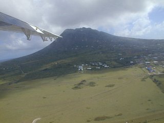
48: The Quill from the airplane.
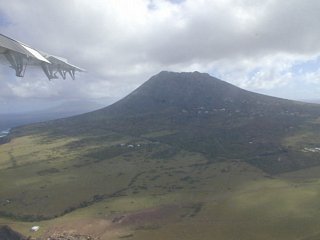
49: The Quill again.
© Don Wiss 2002-2024. All rights reserved.