Virgin Gorda pictures taken February 8-11, 2006. Lots of pictures of The Baths. Includes 12 panoramas. Also see corresponding trip journal.
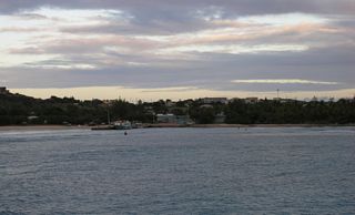
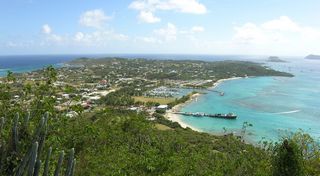
1: An early morning view looking at Spanish Town. Taken on my way to Anegada.
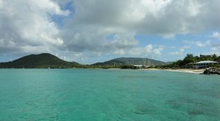
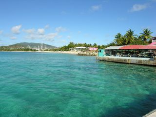
2: Looking back at Tortola from the pier in front of the Dock Side Bar and Grill.
3: Looking At Spanish Town from the pier in front of the Dock Side Bar and Grill.
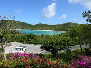
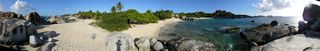
4: A panorama taken from the rocks at Spring Bay. The morning version. [Is Little Trunk Bay to the left and Spring Bay to the right?]
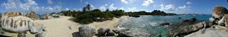
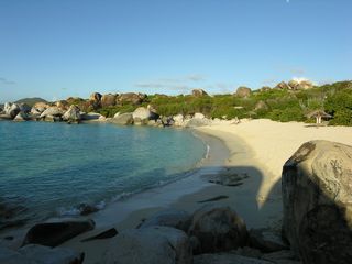
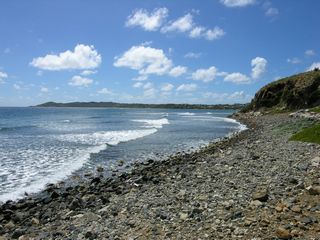
5: The rocks at Stoney Bay.
6: The rocks at Stoney Bay.
7: The rocks at Stoney Bay.
8: Devil's Bay.
9: Devil's Bay.
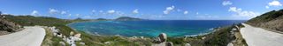
10: A panorama taken from the road to the Copper Mine.
11: A panorama of Taylor's Bay.
12: Another panorama of Taylor's Bay.
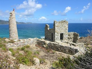
13: The Copper Mine.
14: A panorama of the beach at Little Dix Bay.
15: Little Dix Bay taken from the top of Cow Hill.
16: A panorama of southern Vrigin Gorda taken from the top of Cow Hill.
17: Little Dix Bay taken from one of the private rooms in the spa.
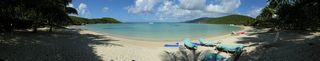
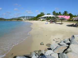
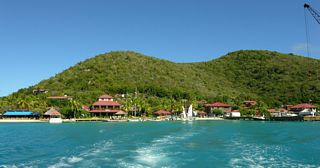
18: The beach in front of Fischer's Cove Beach Hotel and Restaurant.
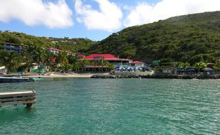
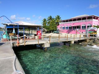
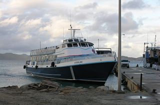
19: The Dock Side Bar and Grill.
20: Looking At Spanish Town from the pier in front of the Dock Side Bar and Grill. Fischer's Cove is the beach in the middle.
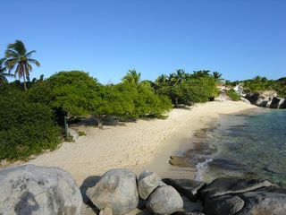
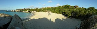
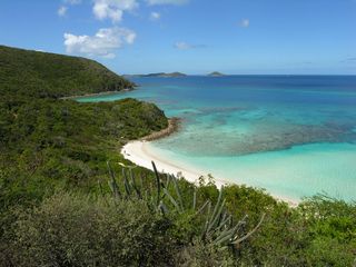
21: Spring Bay.
22: A panorama of Spring Bay. This is the afternoon version.
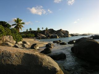
23: Late afternoon at The Baths.
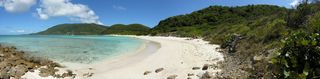
24: Devil's Bay Beach at The Baths. The non-panorama version.
25: Devil's Bay Beach at The Baths. The panorama version.
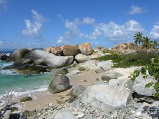
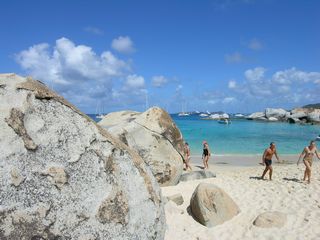
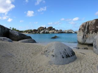
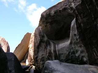
26: Some rocks at The Baths.
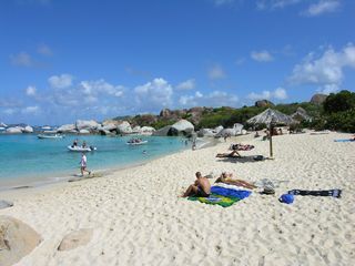
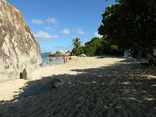
27: The main beach at The Baths.
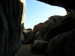
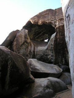
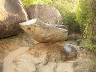
28: A balanced rock on the path leading down to The Baths. This is the flash version.
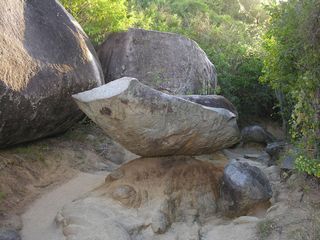
29: A balanced rock on the path leading down to The Baths. This is the non-flash version. Which is better?
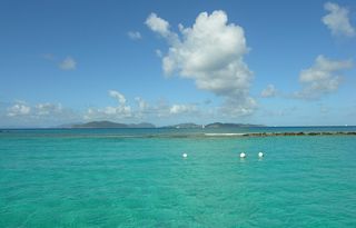
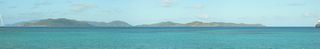
30: An early morning panorama with Ginger Island in the foreground.
31: Early morning at The Baths.
32: Early morning at The Baths. Devil's Bay Beach is in the distance.

33: Devil's Bay Beach.
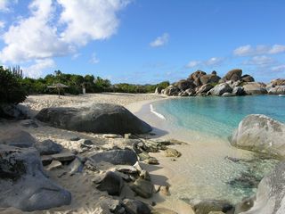
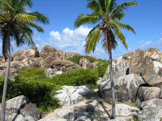
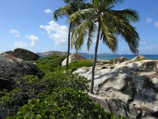
34: Some rocks at The Baths.
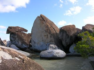
35: Some rocks at The Baths.
36: The main beach at The Baths.
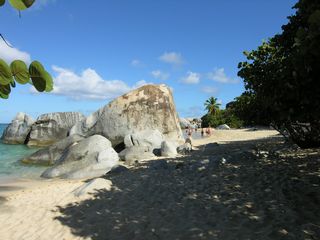
37: A closer up picture of the main beach at The Baths.
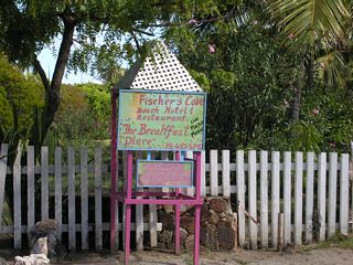
39: A pretty sign. I originally took it so I'd know the place I visited. But it was pretty enough to include.
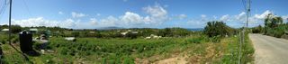
40: I'm now in a car and heading to the north part of Virgin Gorda. This is a view looking over Handsome Bay with Taylor's Bay in the distance. The point sticking out in the distance is Copper Mine Point.
41: Looking down at Savannah Bay and Pond Bay. In the distance is Mahoe Bay.
42: Looking down at part of Savannah Bay.
43: The beach across the road from Savannah Bay. That's Copper Mine Point in the distance. [name?]
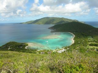
44: A panorama of the beach at Savannah Bay.
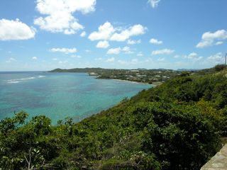
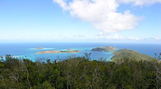
45: Looking over the north end of Virgin Gorda.
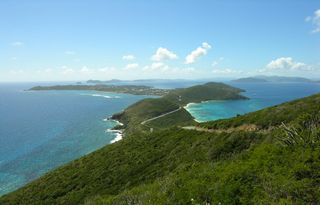
46: Looking over the north end of Virgin Gorda.
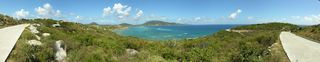
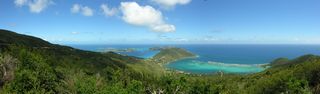
47: A panorama looking over the north end of Virgin Gorda.
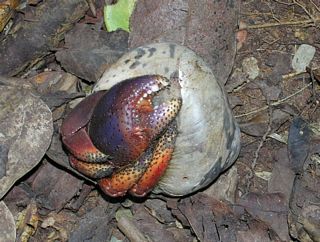
48: A hermit crab found on the walk up to Gorda Peak.
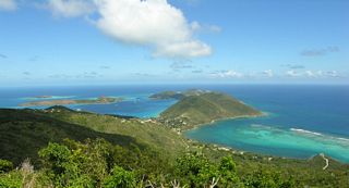
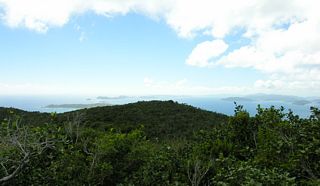
49: The north end from the top of Gorda Peak.
50: Looking towards the south from the top of Gorda Peak.
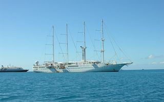
51: A ship we passed on the ferry ride to The Bitter End Yacht Club. It is either the Wind Star or the Wind Spirit. (They are both look the same.) To the left is the Sea Dream Yacht Club again.
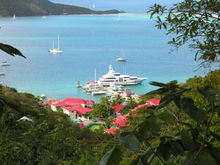
52: Looking at Saba Rock Restaurant from The Bitter End Yacht Club.
53: Looking back at The Bitter End Yacht Club as I leave.
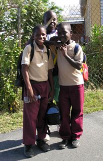
54: Some schoolboys that I passed and wanted their picture taken. I gave them my URL, and hopefully someday they'll find their picture.
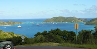
55: A view over the North Sound. The ships pictured earlier, Saba Rock, and The Bitter End Yacht Club can be seen.
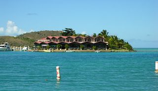
57: Looking down at the Leverick Bay Resort. I later saw that ship in Charlotte Amalia.
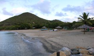
58: The beach at Long Bay. [or is it Nail Bay?]
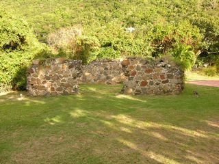
59: The Nail Bay Sugar Mill ruins.
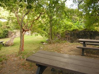
60: The Nail Bay Sugar Mill ruins.
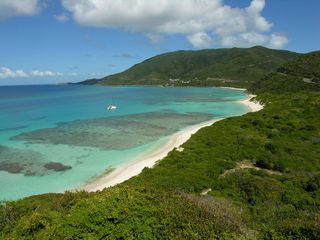
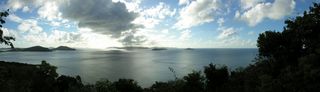
61: A panorama looking west towards The Dogs. Taken from a lookout platform south of Nail Bay.
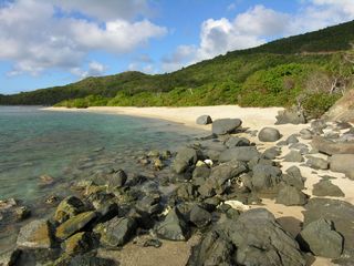
62: An early morning picture of the beach just north of the ferry dock.
63: The ferry coming to get me. Pictures continue in the
St. John album.
© Don Wiss 2006-2026. All rights reserved.