Pictures taken in Saba, West Indies. This was part of a Caribbean trip I took at the end of January 2002. See corresponding trip journal.
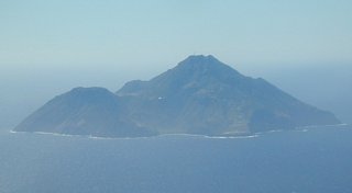
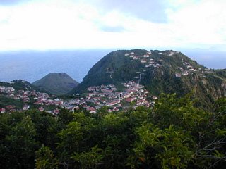
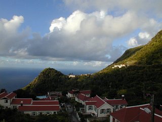
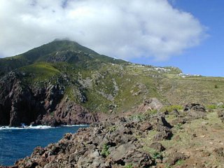
1: Approaching Saba. The airstrip is down by the water in the front right. Hell's Gate is above it in the center. And Windwardside is the cluster center-left.
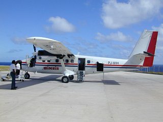
2: The DHC-6 Twin Otter that brought me.
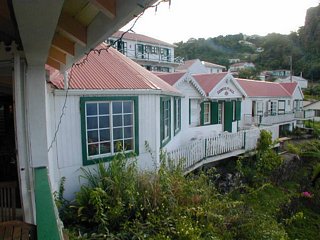
3: Out my back window at Scout's Place.
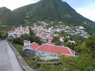
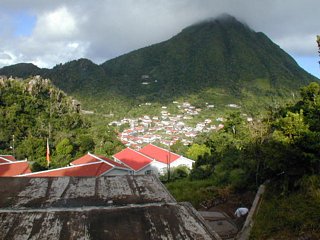
4: A view of Windwardside with Mt. Scenery in the background.
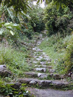
5: The steps at the start of the trail up Mt. Scenery.
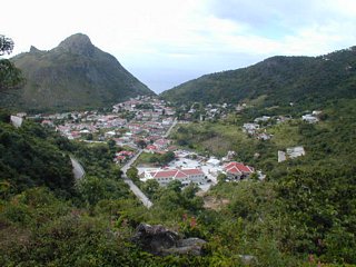
6: Looking back at Windwardside from Maskehorne Hill, a little ways up Mt. Scenery. Booby Hill in the background.
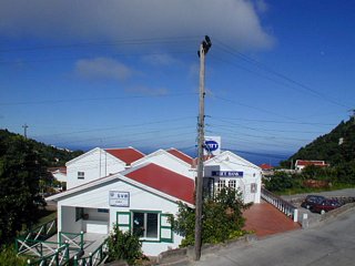
7: Looking out my front door at Scout's Place.
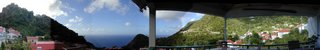
8: A panorama taken from my seat as I was waiting for breakfast. Exposures weren't very consistent! I guess when I was taking the pictures I wasn't planning on stitching them. Be sure to scroll to the right. It's better than the left.
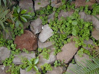
9: I found some wood sorrel growing in the rocks. It's the one with the heart shaped leaves. Very tasty.
10: On the Sandy Cruz trail.
11: On the Sandy Cruz trail.
12: Starting to leave The Bottom on the Crispeen Track.
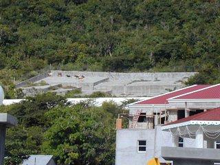
13: A rain catchment area. Not water I'd want to drink!
14: Looking back at The Bottom.
15: Looking back at The Bottom from the Crispeen Track.
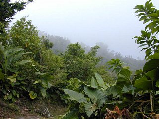
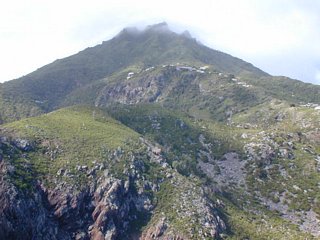
16: Up in the clouds on Mt. Scenery.
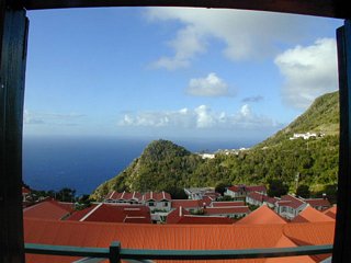
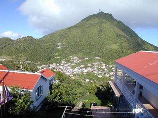
17: A morning view from outside my room at Scout's Place. A view of Windwardside. Mt. Scenery is running up the right side.
18: Scout's Place. This would stick on the far left of the panorama.
19: Someone in Windwardside grows hydroponic salad greens for the restaurants.

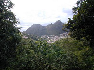
20: From Windwardside looking across to St. John's.

21: On Booby Hill looking back at Windwardside with Mt. Scenery in the background.
22: On Booby Hill looking back at Windwardside with Mt. Scenery in the background. The clouds cleared from the top!
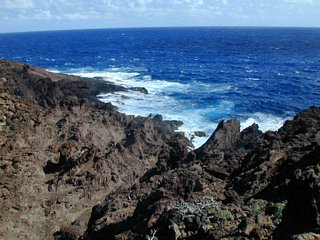
23: Rocks down below the airstrip. I had time to kill before my plane arrived.
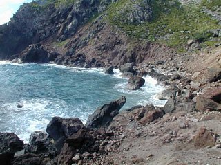
24: Cove Bay. Below the airstrip. I think this is the only "beach" on the island.
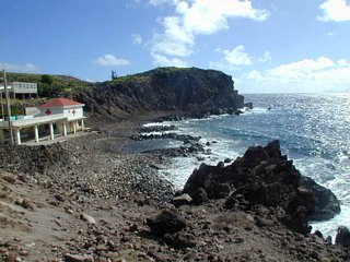
25: Cove Bay from the other direction.
26: Looking up to Hell's Gate.
27: Hell's Gate and Lower Hell's Gate to the right.
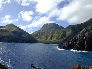
28: Spring Bay.
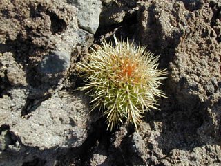
29: A Melocactus intortus cactus.
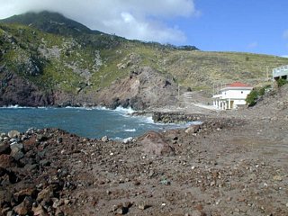
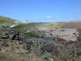
30: The rocks in front of the airstrip.
31: Looking up at the airport.
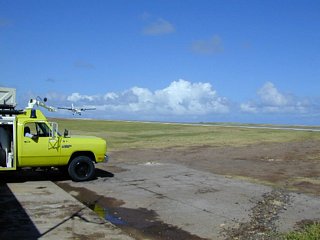
32: The fire engine starts up and pulls out before the plane lands.
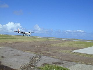
33: My plane lands.
© Don Wiss 2002-2025. All rights reserved.