Grand Turk, Turks & Caicos pictures taken May 7-9, 2007. Includes six panoramas. [Commentary taken from the historical plaques.]
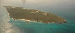
1: An aerial view of Long Cay. An undeveloped cay with iguana population and extensive migrant bird nesting habitat. Permits needed to visit.
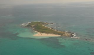
2: An aerial view of Gibbs Cay. This cay can be visited. You can not only snorkel here, but supposedly also hand-feed and touch docile stingrays.
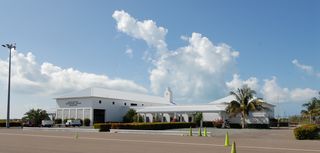
3: The Jags McCartney International Airport terminal.
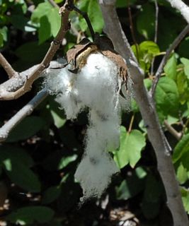
4: Balls of island cotton growing wild.
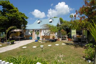
5: The Manta House, where I stayed when I was on Grand Turk. Built circa 1800-1832, in living memory this house was the traditional family home of Mr. Alex Astwood and his wife Miss Elaine Hawkins. Mr. Alex was one of the island's foremost local builders in the 1950s, and later he became head of Public Works. Prior to being the Manta House it was called Captain Kirks.
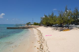
6: The beach in front of The Manta House. Looking north from Sandbar's concrete wall.
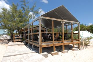
7: The Sandbar Restaurant & Bar. It is run by the owners of The Manta House.
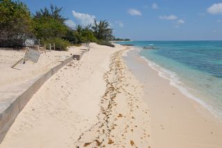
8: The beach looking south from the Sandbar's deck.
9: Turk's Head Inn. Now owned by a film production company and used as a company retreat.
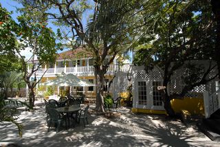
10: A panorama from the top of Colonel Murray's Hill. The highest point on the island. This was the location of the US missile-tracking station, now a ruin. Of course, with the dump in front, this view isn't the prettiest.

11: A panorama from a platform along Lighthouse Rd. This is the future site of the Sailview Resort [never built]. Looking west over North Creek.

12: A shore picture taken from the walk just outside of the lighthouse at Northeast Point. Looking west.
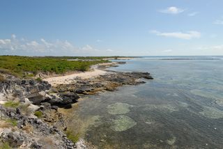
13: A shore picture taken from Buccaneer's Path just outside of the lighthouse at Northeast Point. Looking east.
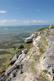
14: The waves breaking on the reef at Northeast Point.
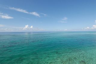
15: This is the Horseback Ride 'n Swim. This is one of the shore excursions run by Chukka Adventures for the cruise ship clientel.
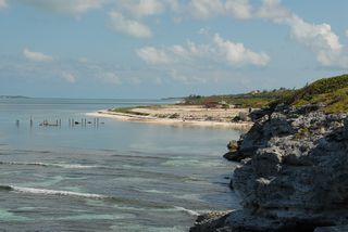
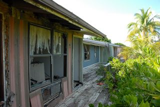
16: The ruins of the Coral Reef Resort. One day the owner just locked up and left.
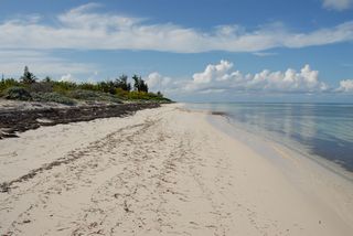
17: The beach in front of the Coral Reef. Operating hotels rake off the seaweed on their beaches. So imagine this as just sand. Looking north.
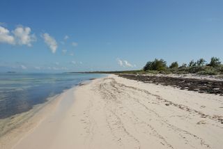
18: The beach in front of the Coral Reef. Looking south.
19: I came upon the Crab Tree Community Park. I stopped as I thought the bridge you see in the distance might lead to a walk; but it didn't.
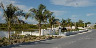
20: The Methodist Church. One of my best pictures from this trip. [Historical writeup off plaque needed.]

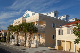
21: The Grand Turk Inn on Queen St. Built in the 1860's, this building typifies the stately British West Indian Architectural style of yesteryear. It began life as the 'Methodist Mission House,' which was established in these islands as early as 1822 and served as the Methodist Manse for over a century. Converted in 2005 to the Grand Turk Inn.
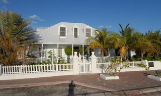
22: The General Post Office. Inside there is a stamp collection.
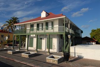
23: The plaza just north of the post office. The biege buildings are government buildings.
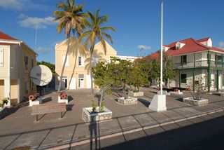
24: More government buildings, as I work my way north on Front St.
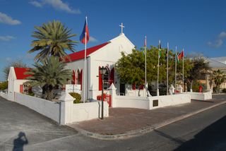
25: The St. Mary's Anglican Pro-Cathedral Church on Front St. This church was first built as a 'chapel of ease' in 1900 to accommodate the parishoners of Cockburn Town. At that time St. Thomas' Church, which was the first church on Grand Turk, was quite a distance from the town.
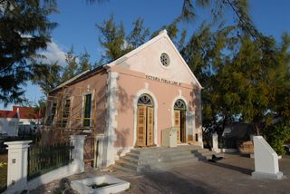
26: The Victoria Public Library. In 1887 the Victoria library was started. Named in honor of the 50th anniversary (Golden anniversary) of Queen Victoria's reign, the building was finally finished and opened to the public in 1889. Now being restored.
27: The Oddfellow's Lodge/Eunice Lodge. This building is thought to have been constructed circa 1799, which makes the Lodge one of the oldest buildings on Front Street. According to local folklore, the proclamation abolishing slavery in 1834 was read from this building. The 'Order of Oddfellows' was set up in 1894 as a Civic Association, incorporated under the 'Friendly Societies Act.' The Lodge was previously located on the beach opposite the Manta House; however this building was destroyed in 1960's 'Hurricane Donna.' The Sandbar now stands where it used to be located.
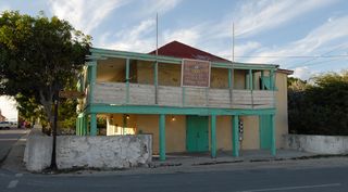
28: The Grant Building. This was also owned by the Grant family. It dates back to the 1890's and was probably acquired at the same time as the Iron Building. This building was a meeting place for the various workmen and merchants of the town where they used to drink and discuss the business of the day.
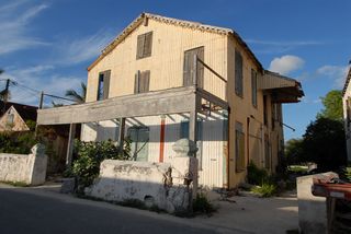
29: Free Mason's Lodge. This Lodge was set up in 1855 by the first president of the Turks & Caicos Islands, Mr. Frederick Forth, and was called the 'Turks Islands Forth Lodge.' Mr. Forth, himself, was a member, and local legend has it that President Forth may have personally lived in the building. The structure is marked with a compass, square and the letter G, which is the international symbol for the "Free and Accepted Masons." In living memory, the Free Mason's Lodge always has been located here.
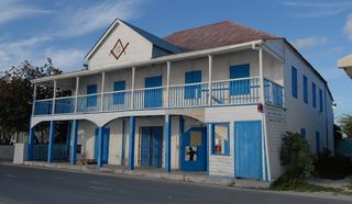
30: Sunnyside. This house, which always has been known as Sunnyside, was originally located on a cay off South Caicos called Sail Rock Cay. It was built in the 1870s and has the distinction of being one of the most famous houses on Front Street. It was moved board by board to its present locations on Grand Turk in [year?].
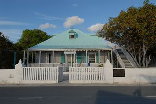
31: The Turks & Caicos National Museum on Front St.
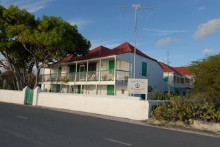
32: The Crofton Coverly House. Mr. William Burton Astwood built this house in the 1870s, yet he never lived in it himself. Currently it is occupied by his grandson. The name Astwood, like Coverly, Hawkins and Grant, is an old Grand Turk family name of a one-time salt merchant and proprietor. Mr. Astwood was the foremost importer and seller of liquor of his day. This property was acquired by Mr. Crofton's father who was the local money-lender of the day. From here he sold various hardware items such as paint, iron rods and even boats.
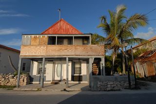
33: Timco (Turks Islands Importers Ltd.) Built in the 1860's, this building started life as a salt warehouse belonging to the Stubbs family who were the foremost plantation owners in the Caicos Islands and one of the foremost salt families of South Caicos and Grand Turk. On Grand Turk they rivaled the Frith brothers, and it was reputed that Mr. Stubbs built the warehouse after being goaded by the Friths that they owned Front Street. He, out of spite, then decided to locate his salt warehouse directly in-between the Frith's two iron buildings at either end of Front Street, so that they would have to cross Stubb's property on the daily trip between their establishments. The building later became the home of the Turks Islands Importers Ltd.
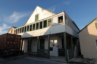
34: Todds, which was built in the 1880's, not only is the oldest variety store on the island, but also the only one still trading under its almost-original name and owned by the same family.
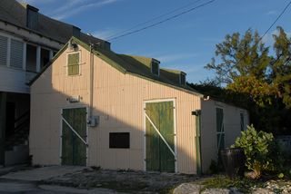
35: The old salt wharf.
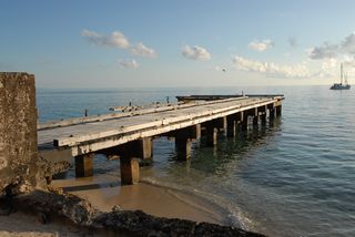
36: The colonial prison. It is now a cruise ship shore destination.
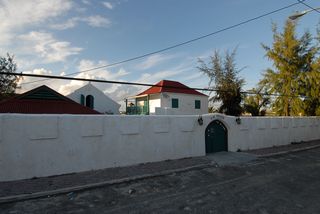
37: The Methodist Church again. The first picture of this was so good I thought I'd try again. But for many reasons this one is not.
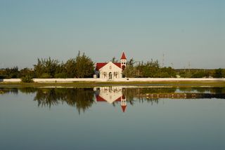
38: A sunset attempt. I checked all the sunsets on Grand Turk looking for a good one. But alas, there were no stunning ones. Usually as there were too many low clouds.
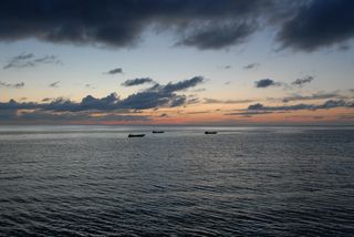
39: The son of the waitress at Michael's Atrium Restaurant.
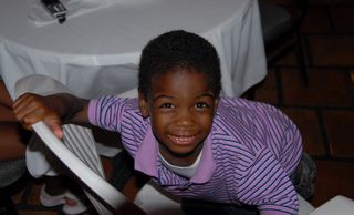
40: The daughter of the waitress at Michael's. I let the two of them play with my camera for a long time. They had great fun taking pictures of whatever the camera was aimed at. And aiming was hard for them, as the weight of the camera, with the telephoto lens, was more than they could easily hold.

41: The next morning the surf was up. There was some storm in the area. The churning seas reduced visibility for the divers. Taken from the end of Sandbar's deck.
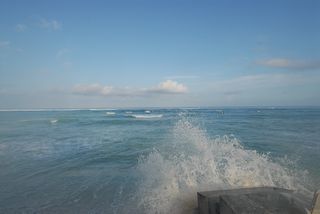
42: Another picture of the surf. This is the leeward side of the island and is usually calm. Taken looking north from Sandbar's deck.
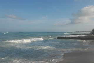
43: The Old Robert's Family House. This listed house was the traditional home of the Roberts family. Built in the 1850s for Benjamin H. Roberts, the house resides opposite Roberts Alley, also named after the family. Mr. Roberts was a carpenter by trade and had the distinction of having built the old salt wharf. He was also the lighthouse keeper for many years. It has been restored to reflect its origins as a simple home built by the island's hard working and industrious ancestors.
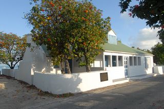
44: A morning view of Michael's Atrium Restaurant. I think that's Michael in the distance.
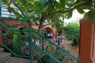
45: A house where the owners removed the historical plaque. [name?]
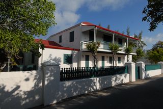
46: The beach down the road by the hotel [name?] that is just north of the Governor's residence. Looking north.
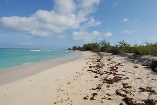
47: The Governor's residence at Waterloo. This was as close as I could get to it.
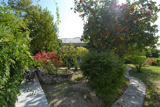
48: Pine-shaded Governor's Beach, a popular picnic and party spot for locals. (But not on a Tuesday morning!) In the distance is the town pier.
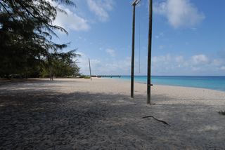
49: A panorama of the plaza at the cruise ship center. This "tourism village" was designed to look like a Bermudian salt-rakers' settlement from the early 19th century. No cruise ship this Tuesday.

50: Another panorama of the plaza at the cruise ship center. This one with the Jimmy Buffett Margaritaville, his largest. I gather some cruise ship passengers simply spend their entire day on the island in the Margaritaville and this complex.

51: A view of part of Hawkes Nest Salina.
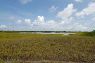
52: A panorama from Gun Hill. This is the second highest elevation on Grand Turk. In the early 1780s a small fortification with two cannons was built at this site by the English governor for protection against French invasion. The French did not attack immediately and the fort was dismantled. Most of the rocks were taken away for use in other building projects on the island, though the foundation rocks can still be seen. If you look to the far right you can first see Gibbs Cay and then Long Cay.

53: A panorama of Great Salina. I did not go across to what would be the South Creek National Park. It looked kind of industrial. I later learned that the building in the distance is "Sitting Pretty" H.M.S. Prison, and the national park is behind it.

54: The surf is still up along Front Street.
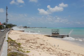
55: West Road Beach looking north.
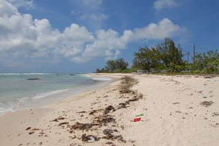
56: A picture with Pillory Beach in the distance.
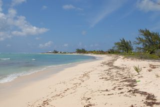
57: Corktree Beach looking north.
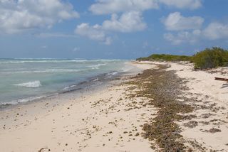
58: Looking at the lighthouse on Northeast Point from Little Bluff Point.
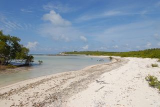
59: Looking at the lighthouse on Northeast Point from Little Bluff Point.
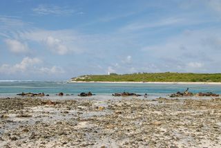
60: The prison compound from across Pond Street. This is where some guide book said you could get the best picture.
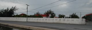
61: The prison itself taken from inside the walls.
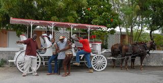
62: It is now Wednesday midday. A cruise ship is in this day. Someone runs the cruise ship passengers around town in two of these horse-drawn carriages. This group is taking a break and posed for me.
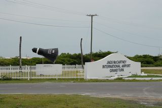
63: A Friendship 7 space capsule in front of the Jags McCartney Airport. John Glenn splashed down off Grand Turk in 1962. This is a replica. The real one is on display just inside the entrance of the Smithsonian Air and Space Museum in Washington, DC.
© Don Wiss 2007-2025. All rights reserved.


